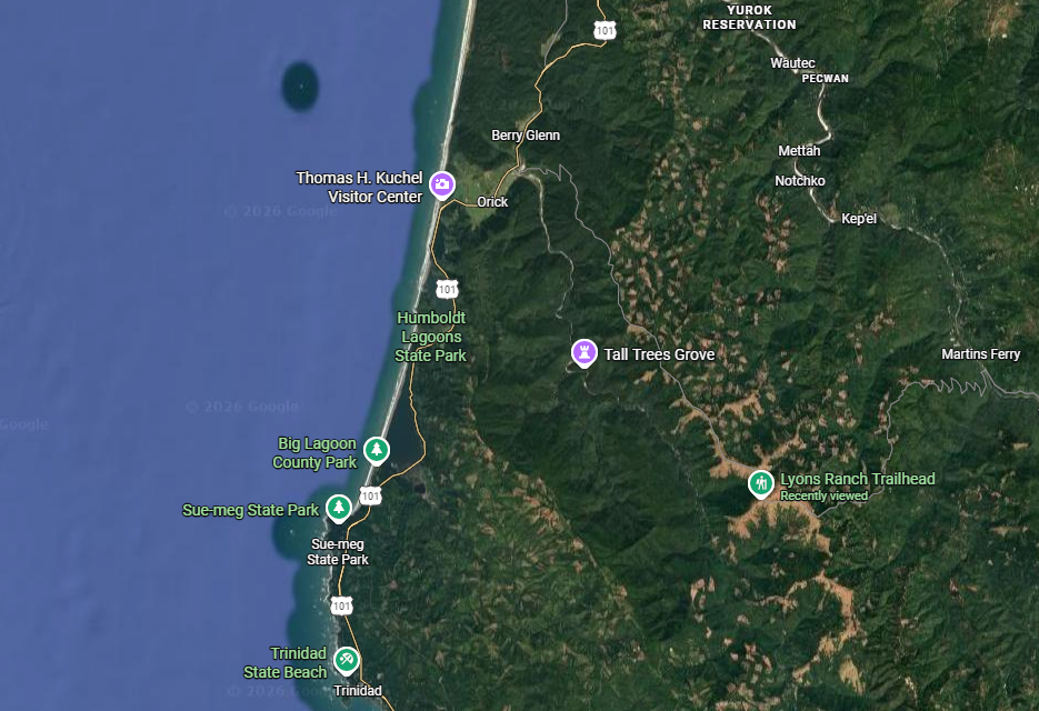
Every time I get to the Arcata area I go to the Bald Hills Ranch (that’s what we called it, it’s called the Lyon’s Ranch officially). We lived there from 1966 through 1970, and, of all the places we lived when I was growing up, I felt like this was “where I grew up!” This map show’s it’s relationship to Orick and other towns on the coast.
Looking at this map you can see why it was called “Bald Hills Ranch” by seeing the openings in the timber!
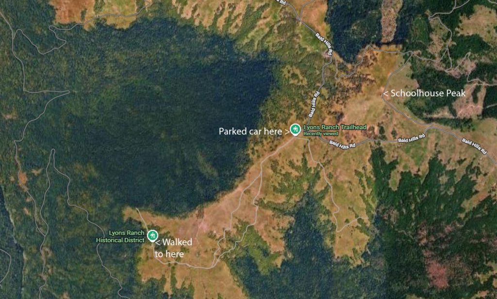
I walked from about 2640 ft altitude down to 2150 ft and then back up again a total of 3.2 miles. The last time I made this walk was in 2014 with Richard (12 years ago). It was a lot easier walk then!
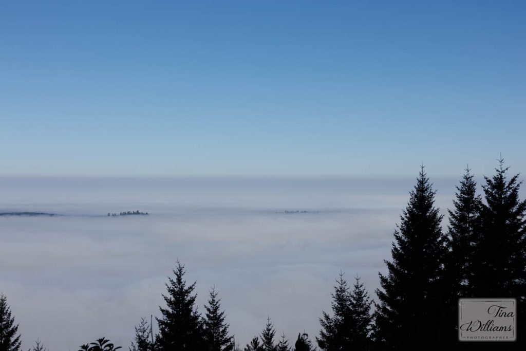
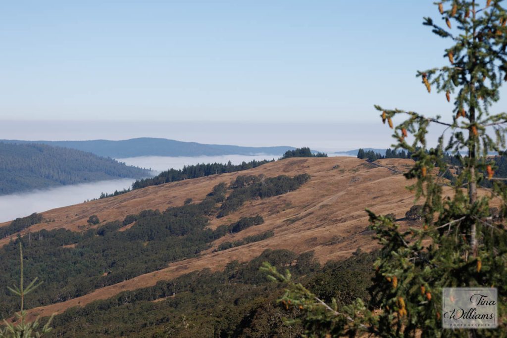
On the drive up I stopped at an overlook and took photos of the fog below.
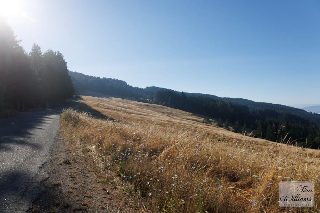
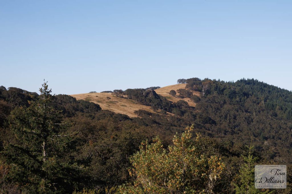
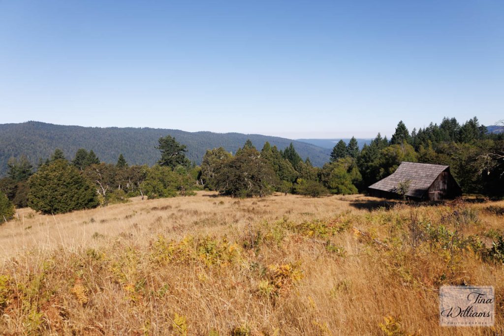
I always stop here and take photos of the first opening on the drive up to the ranch.
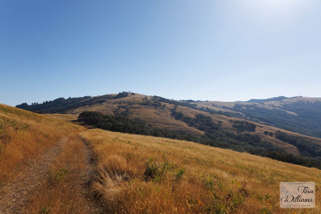
You can see the lookout on Schoolhouse Peak in the middle of the photo.
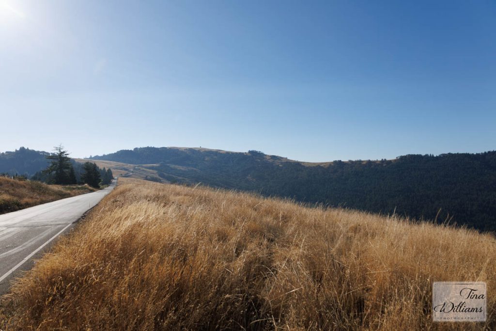
I will be walking along the top of this opening in a bit.
Looking back on the road I just drove up and seeing the fog below.
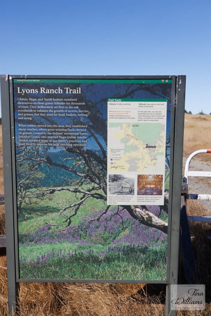
Sign at the parking area where I left the car to walk down the trail.
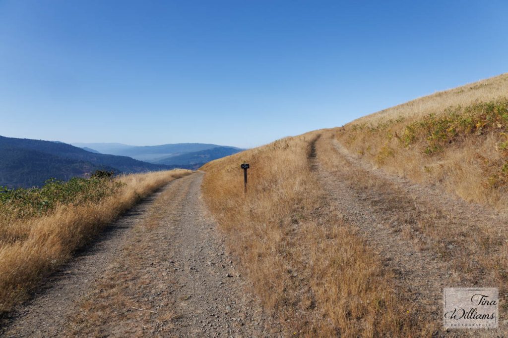
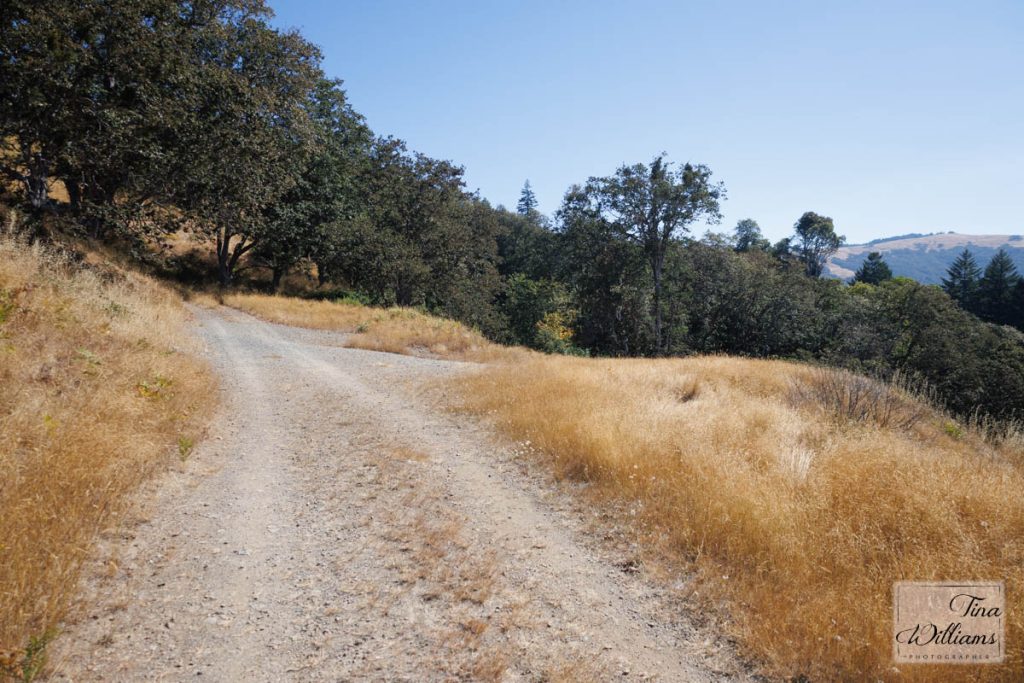
The road to the left is the main road that's drivable. The road to the right is the road Dad built to haul hay into the big barn by the house as the other road had too tight a turn for large trucks to make. When walking to the home place, I take the upper road and go across the top to save some walking distance.
Looking back toward Schoolhouse Peak and my car.
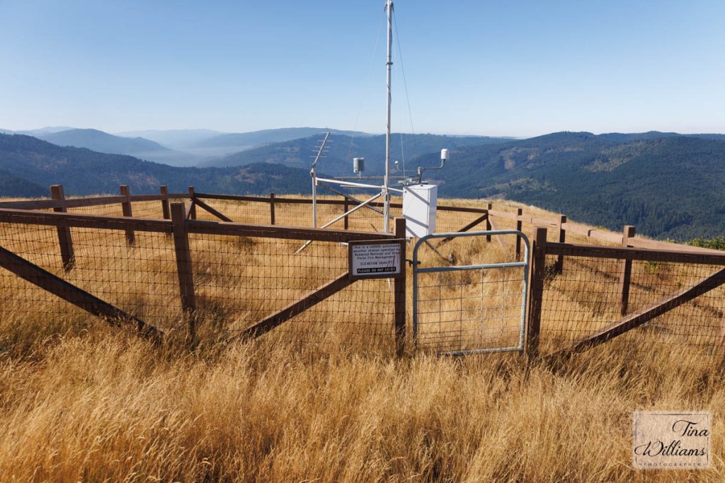
Weather station at 2640 ft.
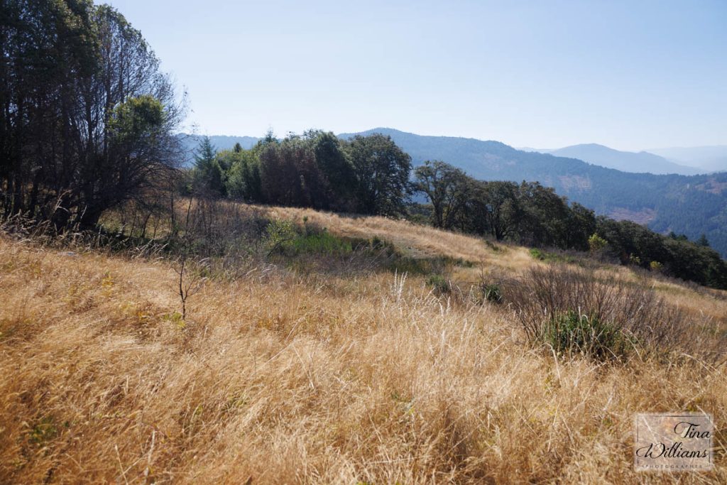
After the walk across the top it's time to go downhill!
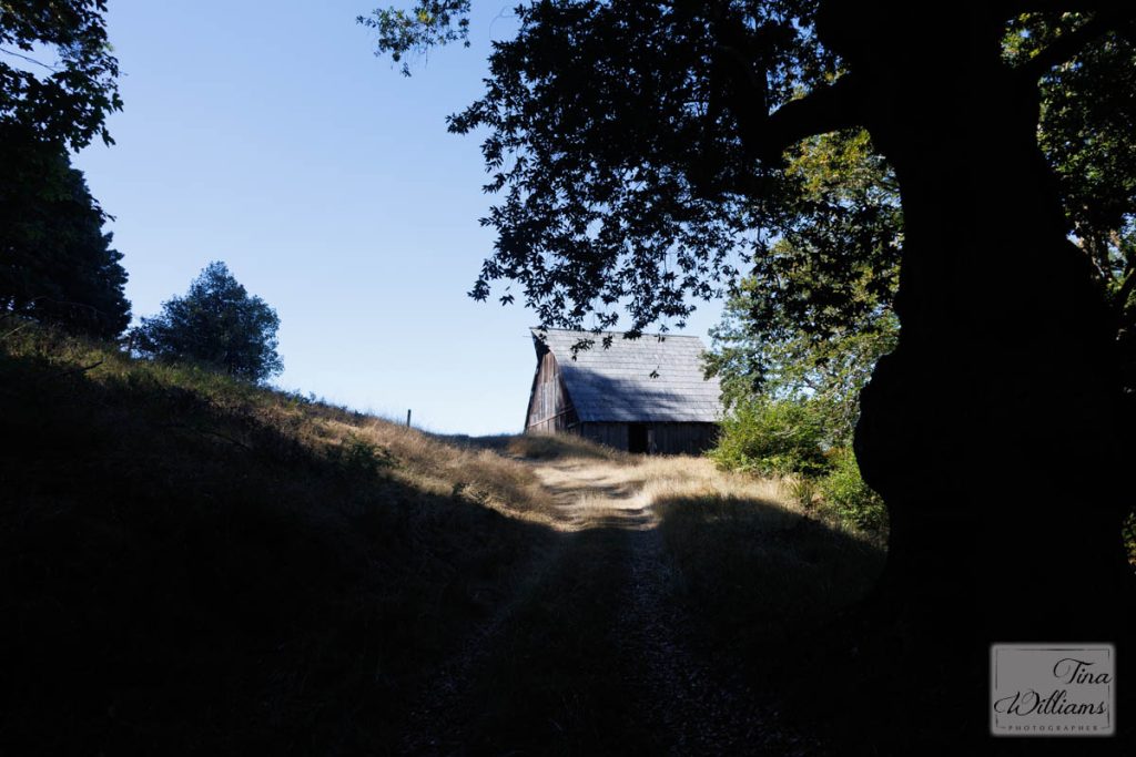
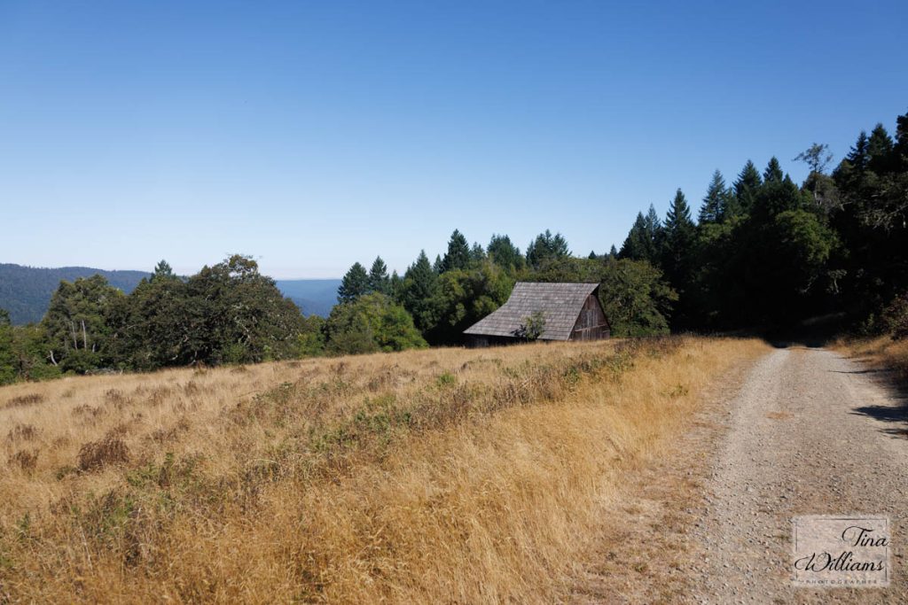
First view of the barn.
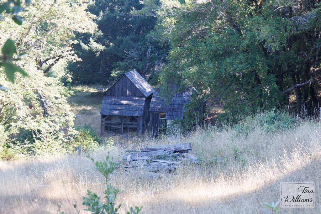
The bunkhouses
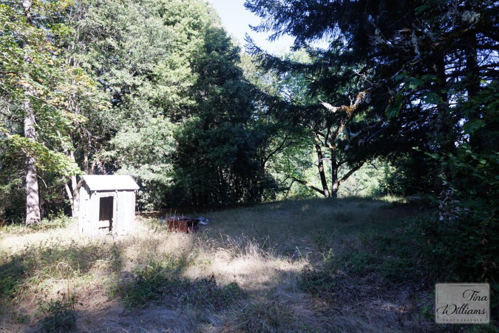
Where our house was with the old outhouse (we didn't need it as we had a bathroom and running water from a neat gravity flow system, we didn't have electricity).
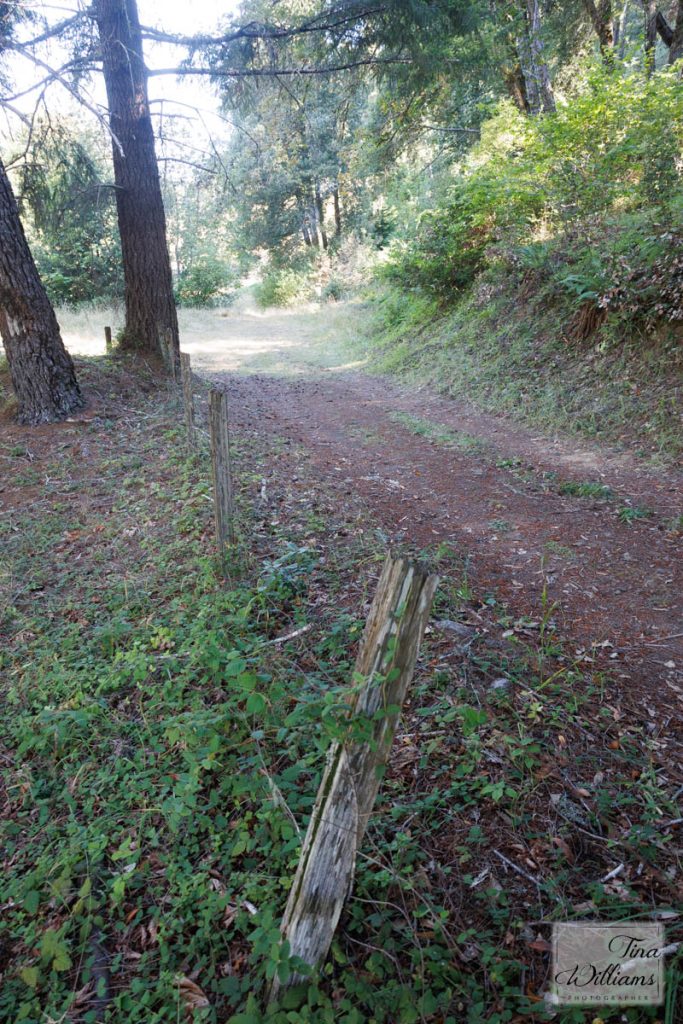
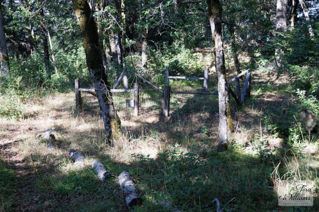
The remains of the fence around our house/yard.
Walking back from the bunkhouses and where our house was toward the barn.
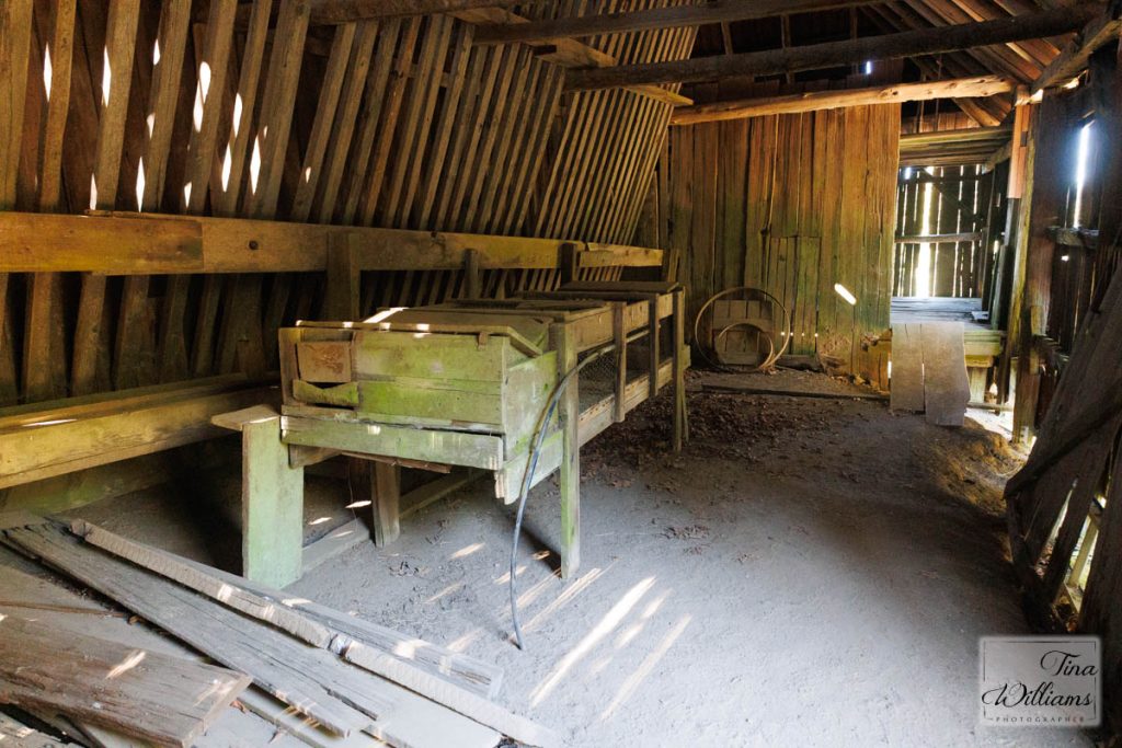
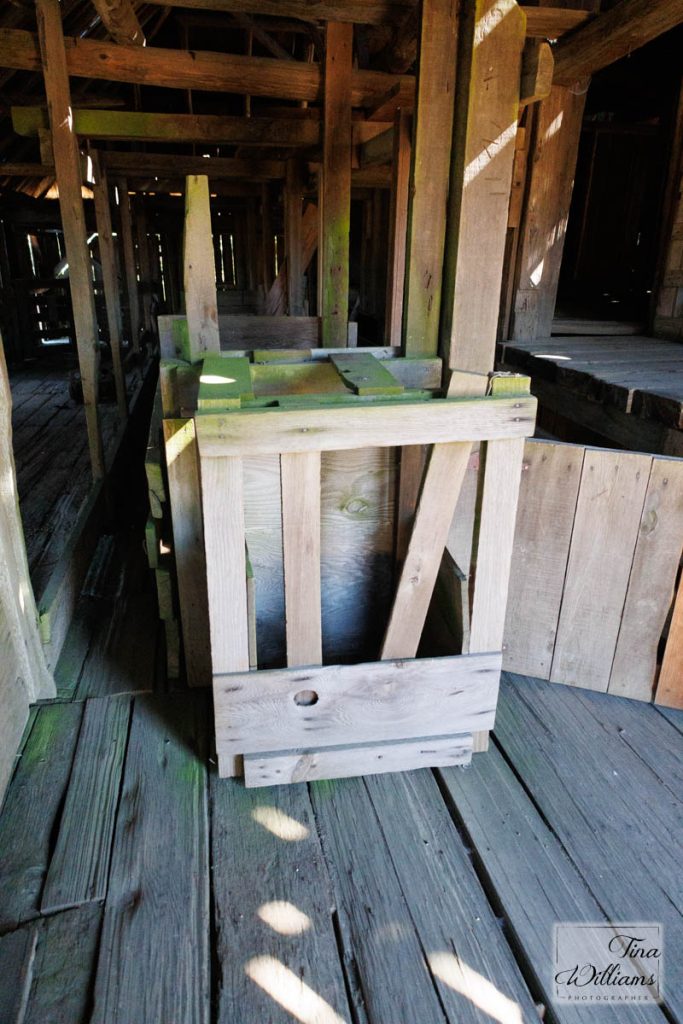
Inside the barn one of the remaining rabbit hutches Mom built.
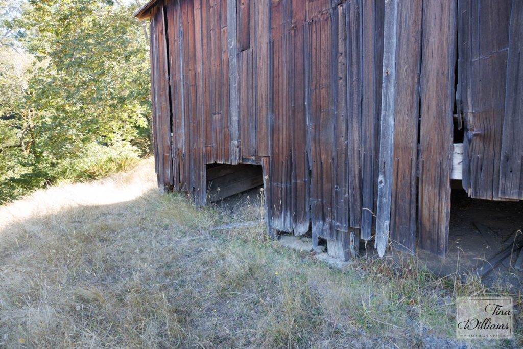
We put a heavy bred sow in the left hole under the barn to farrow.
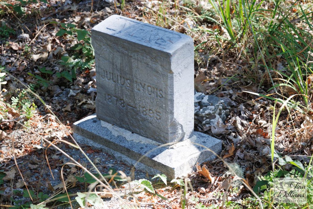
The park service (probably because Mom and I told them about the old cemetary in 2000) built this nice cemetary area. Unfortunately they only moved one of the two headstones which used to be there.
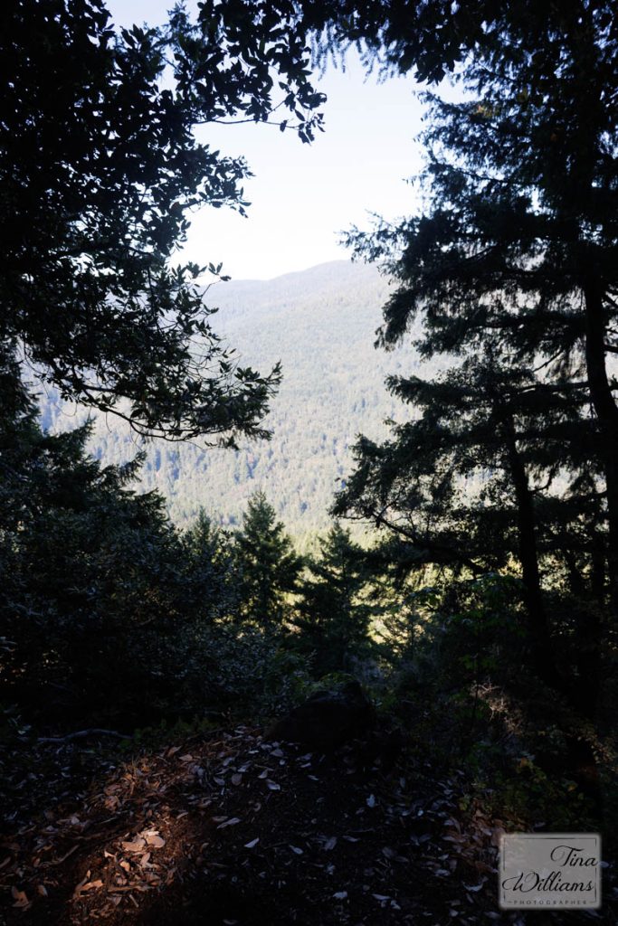
A nice overlook near the cemetery where Richard and I had lunch in 2014
Where I used to milk the cow.
The old racoon trap (read "Smile and Mean it" for the full story).
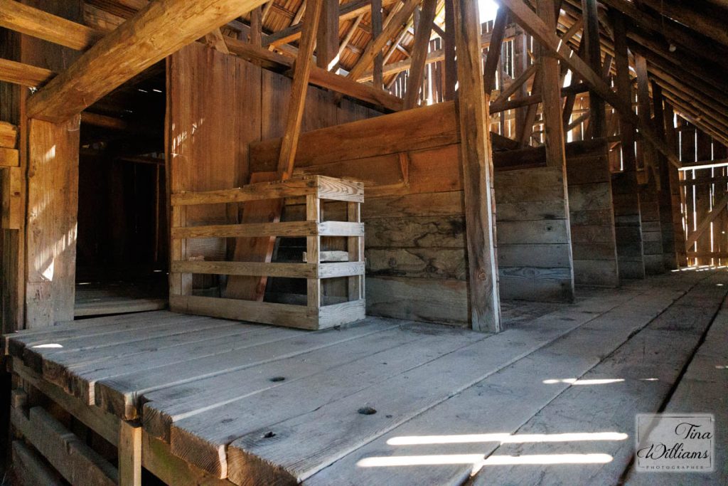
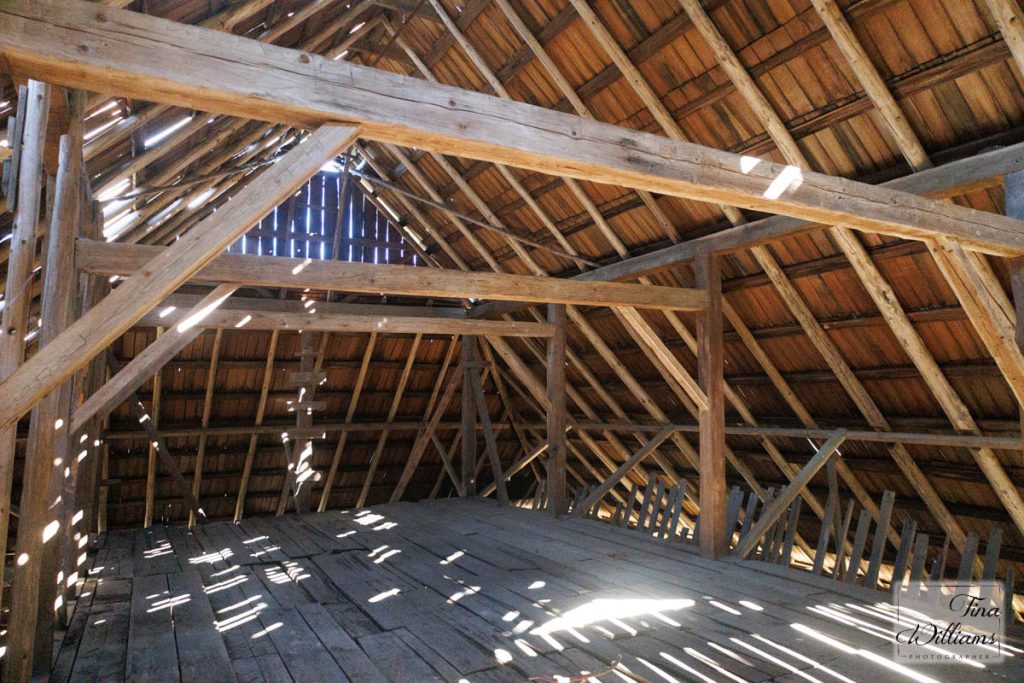
The hay loft of the barn. I did my first hunting there to kill the remaining roosters from the previous occupants as they were pooping on the hay!
Looking back on the barn as I left.
In the middle is the pond I used to swim in. It's almost completely filled in now.
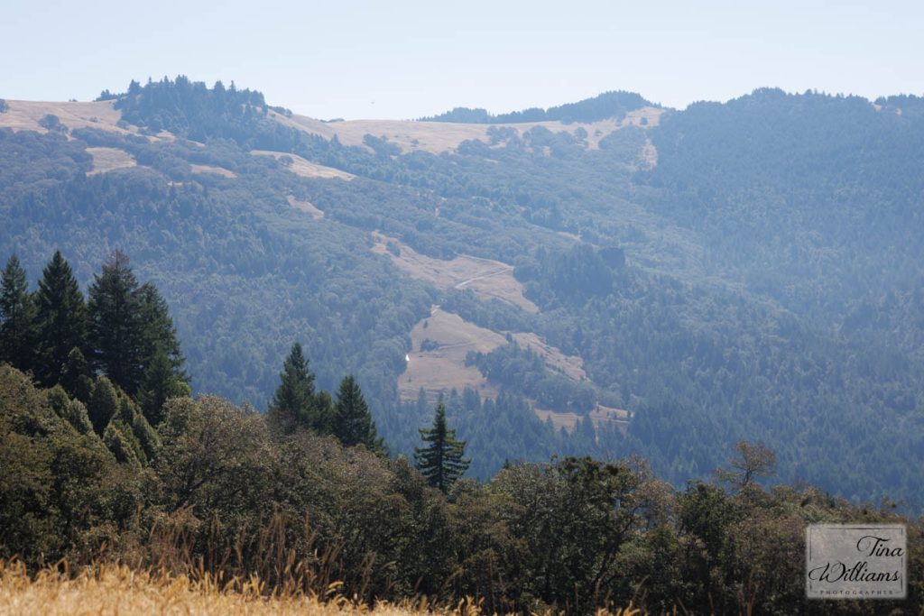
The flash of light in the middle is Coyote barn below Coyote Peak. View from my walk.
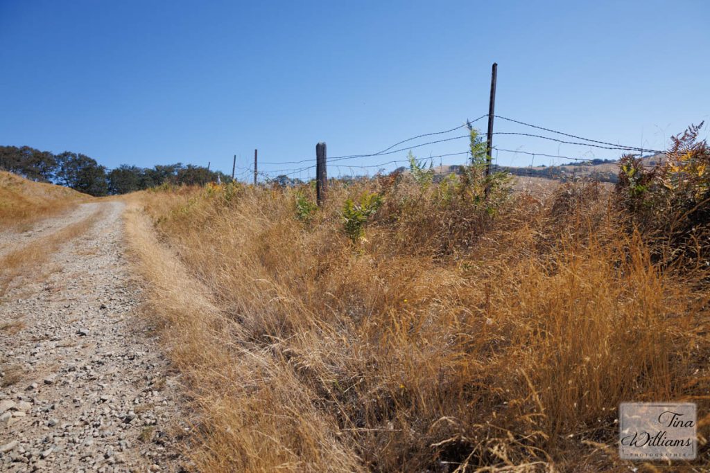
Here's where the road to Long Ridge Barn cuts off the road back to my car. I almost took it, but then decided I didn't have enough energy in case the road took more up/downs than I remembered!
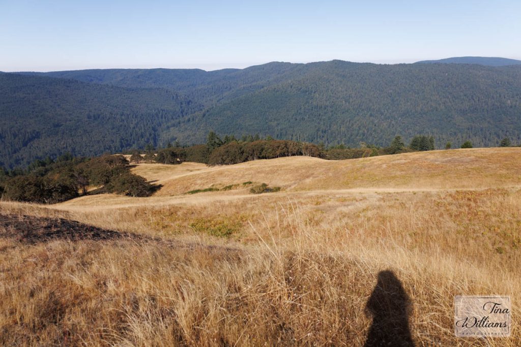
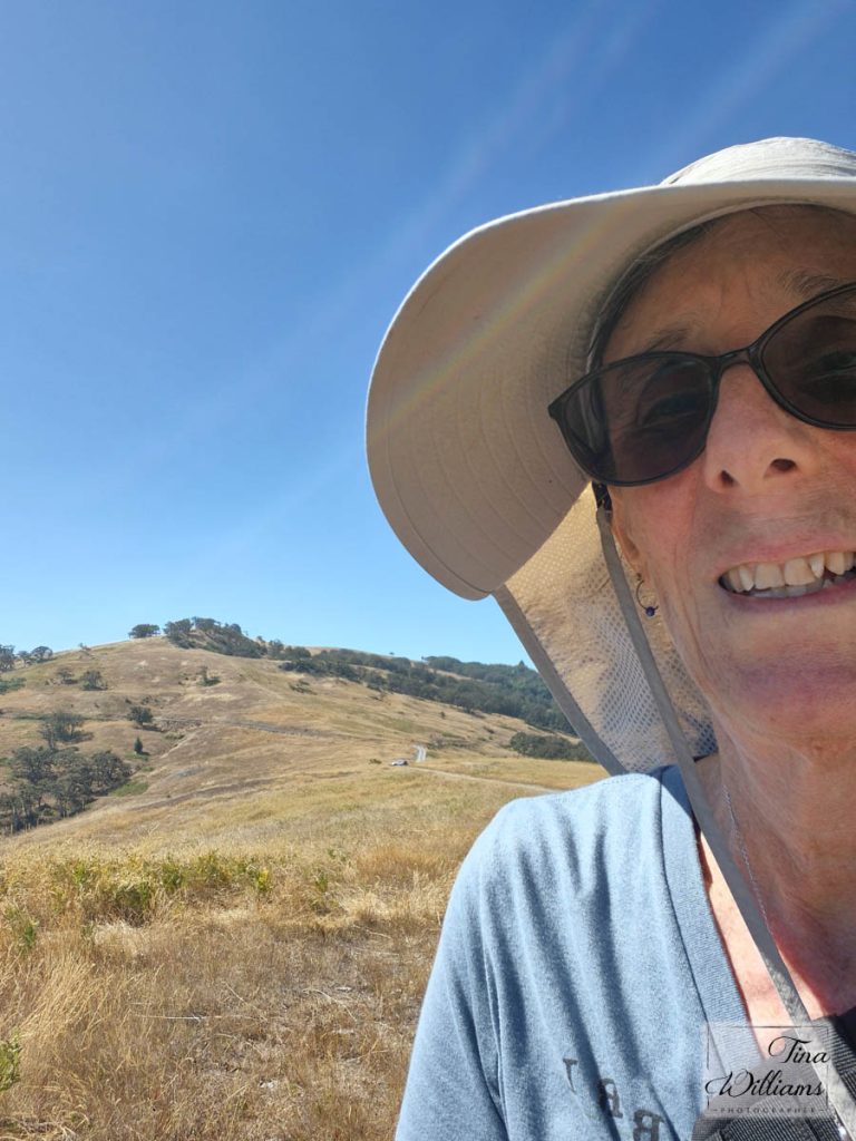
"Selfie" as I'm pretty tired and hot just about to my car (over my shoulder).